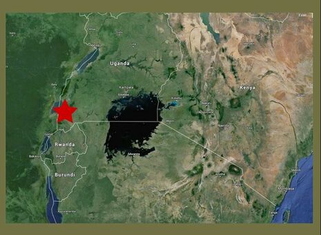
Where is Rukungiri, Uganda?Rukungiri district is located south of the Equator in the southwestern region of Uganda. The district is approximately 400 kilometres (250 mi), by road, south-west of Kampala, Uganda's capital city. Ranging in altitude between 615 m to 1,864 m, the district has an approximate total area of 1,524.28 square kilometers, 11% of which comprises of tropical high forests, 5.5% woodland, 2.6% bush land, 21.3% grassland, 52% farmland and 7.6% open water. Rukungiri District has two counties of Rujumbura and Rubabo, 11 Sub-counties including Town Council, 77 parishes and 825 villages. |
It is characterized by undulating hills, which are usually smooth in outline, with steep fluted slopes. The hilltops continually rise to over 1,846m above sea level. Rukungiri receives an average rainfall ranging between 700mm-1200mm annually and two rainy seasons between February to May and September to November. Rukungiri has a cooler African climate with temperatures normally ranging between 15°C to 20°C.
About the areaAt Independence in 1962, Rukungiri District was part of the Kigezi District. In 1974, Rukungiri District was created under the auspices of taking services nearer to the people. By then it was called North Kigezi District until 1980 when the name was changed to Rukungiri District.
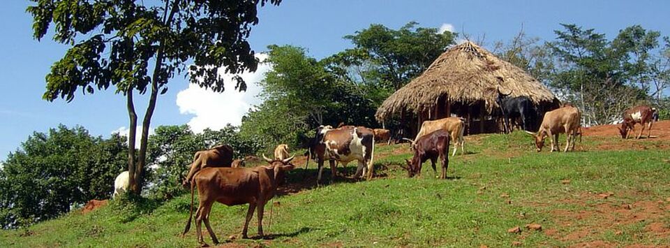
Like most districts in Uganda, Rukungiri district is predominantly agricultural, 90% of the populations relying on farming for employment and income. The people keep livestock including cattle, goats, sheep, chicken and pigs. 95% of the people live in rural areas without access to electricity. Some common foods grown in Rukungiri include; matooke (a savory green banana), sweet potatoes, irish potatoes, rice, beans, cabbage, peas, and greens. The majority of families enjoy matooke daily, commonly served with sauces made from meat, fish, peas, chicken, and beans. |
Links to more informationFor more specific information on Rukingiri and Uganda please visit the following:
|


